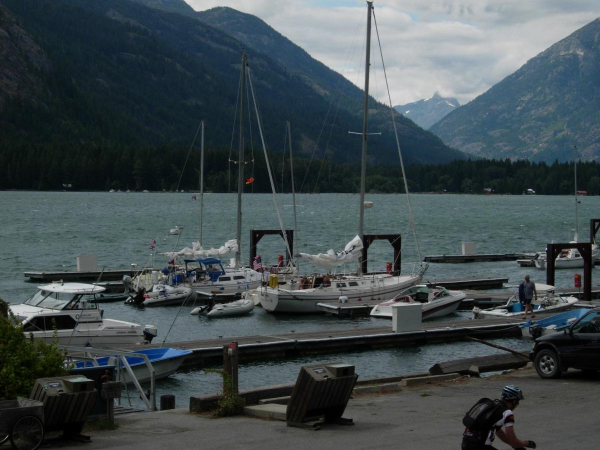
Lake Chelan
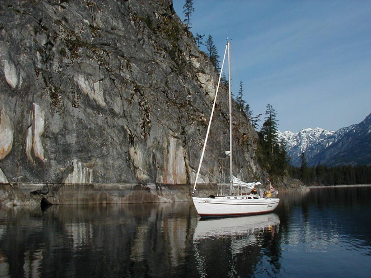
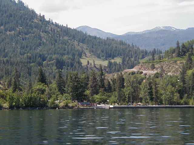
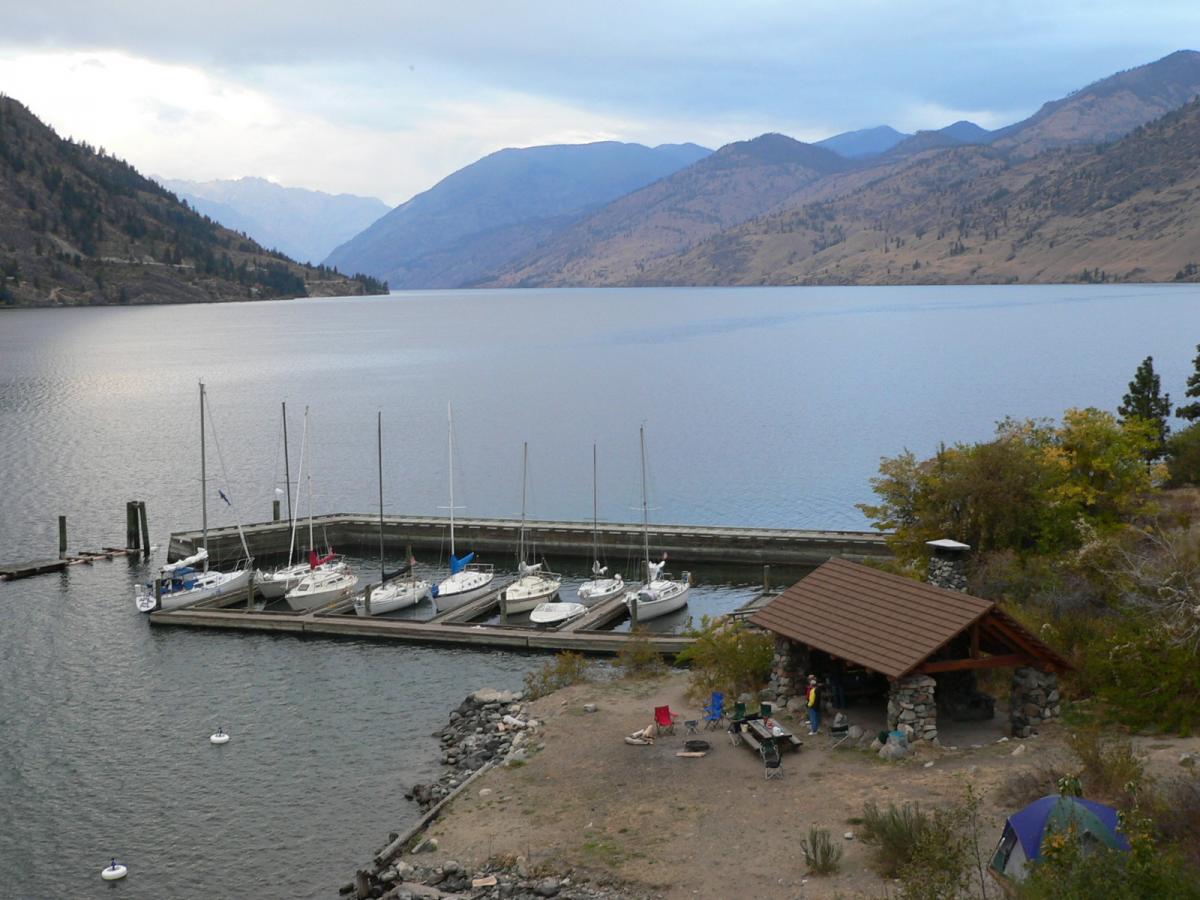
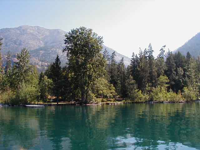
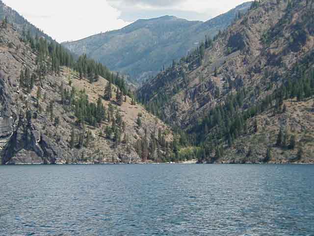
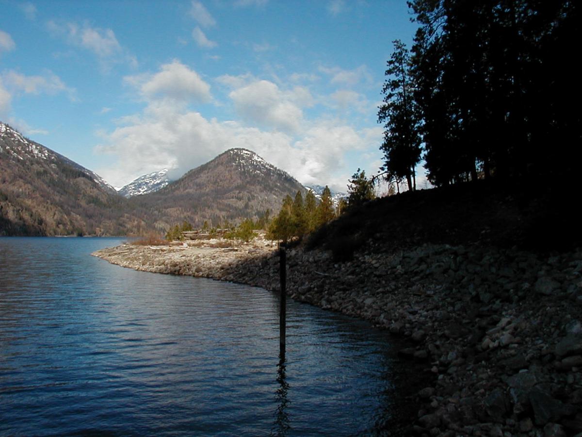
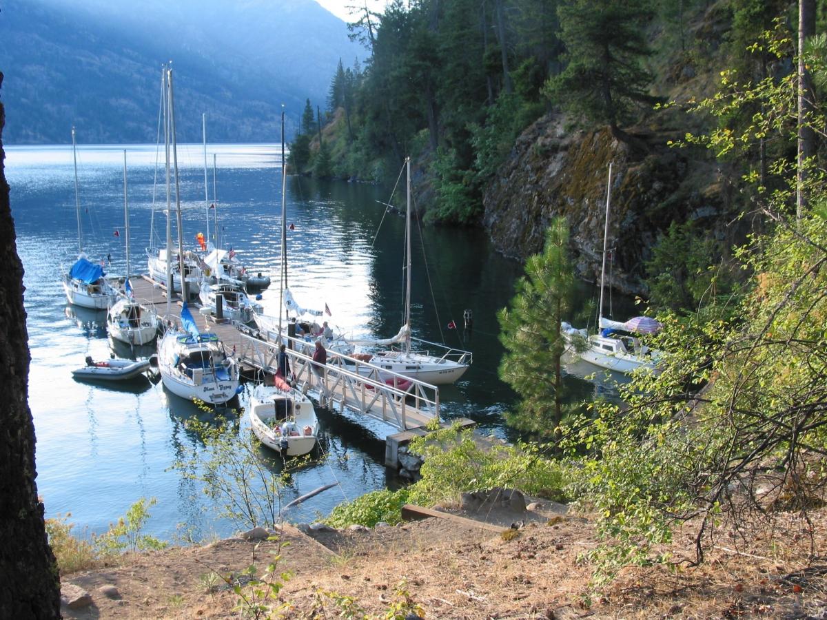
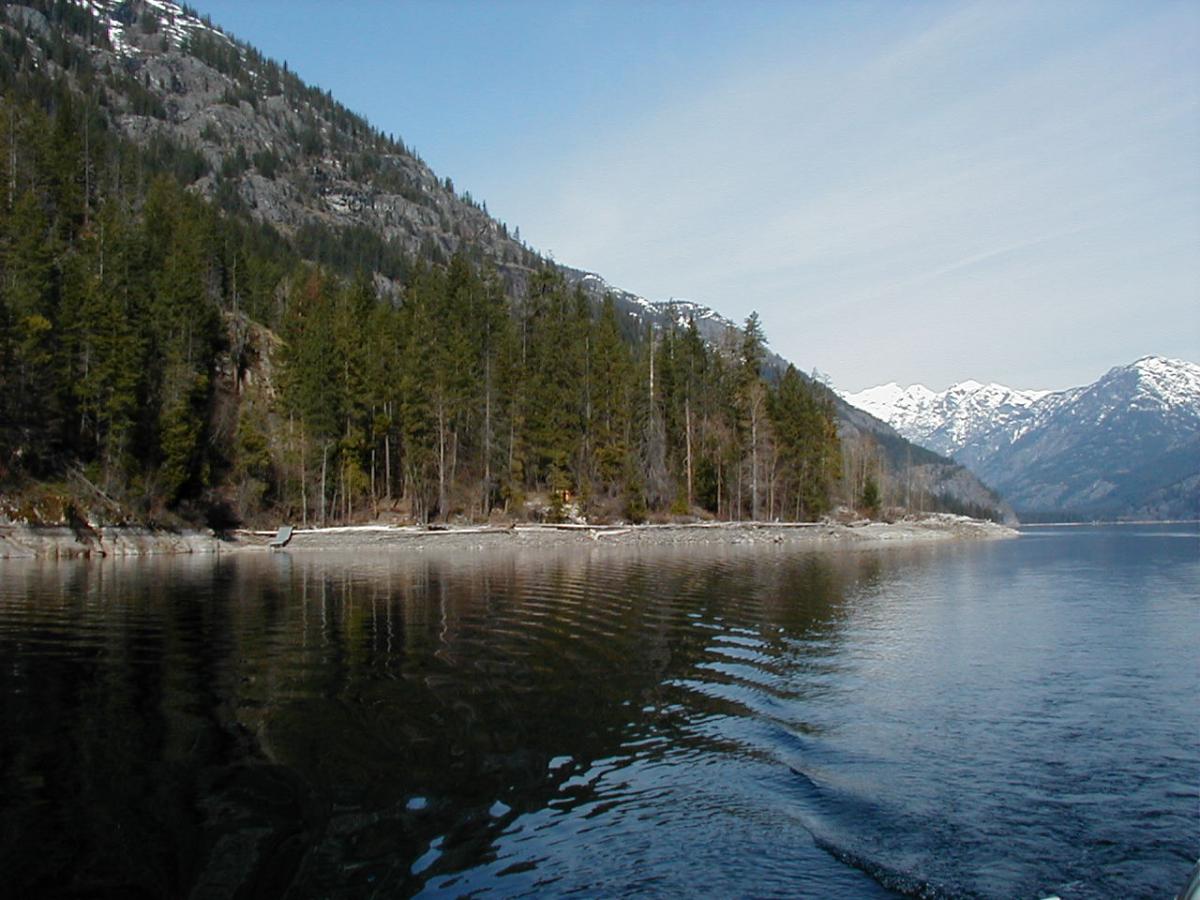
Is Lake Chelan a good place to sail? You bet. At 55 miles long the lake is really a series of areas, each with it’s own distinct conditions. The lower lake, near town almost always has a drainage breeze but also has the most boat traffic. The area near the State Park and Wapato Point is not very good with either no wind or erratic canyon winds out of First Creek. The run from the Yacht Club to 25 Mile Creek is the best with stable winds averaging about 12 knots down lake. From 25 Mile Creek to Stehekin you find yourself in beautiful fjord-like country with steep tree covered hillsides and waterfalls.
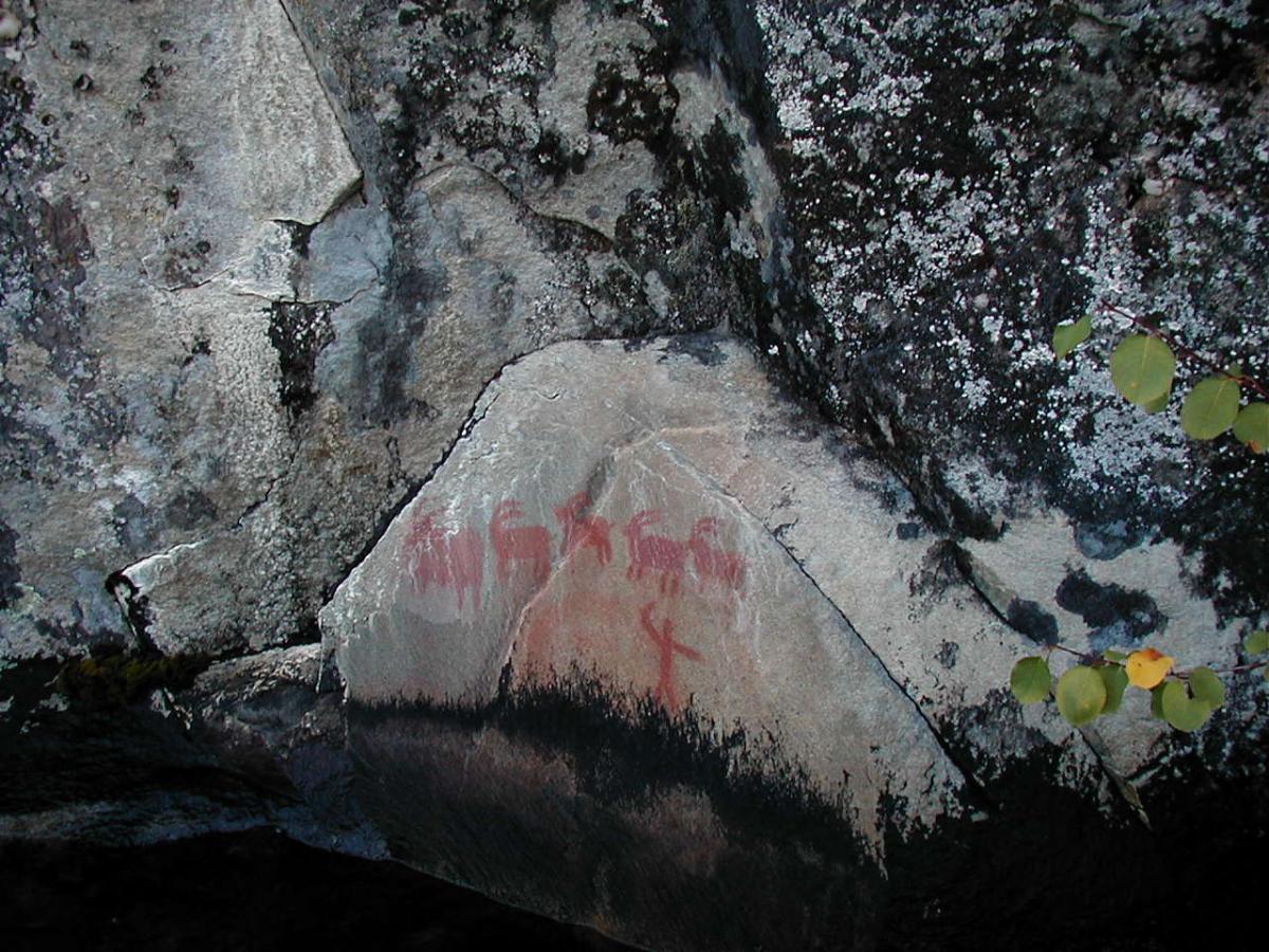
Lake Chelan has been traveled for many years, A native traveler left this record of a successful hunt long ago at the painted rocks in Stehekin.
The roughest water is often found between Safety Harbor and Twin Harbor where steep waves can slow forward motion and an outboard kicker may be pushing air half the time.
Twin Harbor to Domke Falls is often windless, then strong down lake wind is often experienced from Domke to Moore Point and from Moore Point to Stehekin.
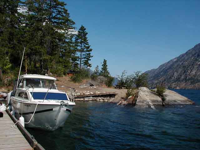
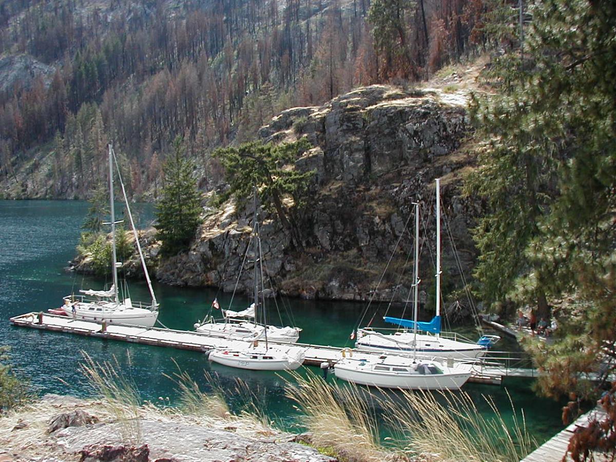
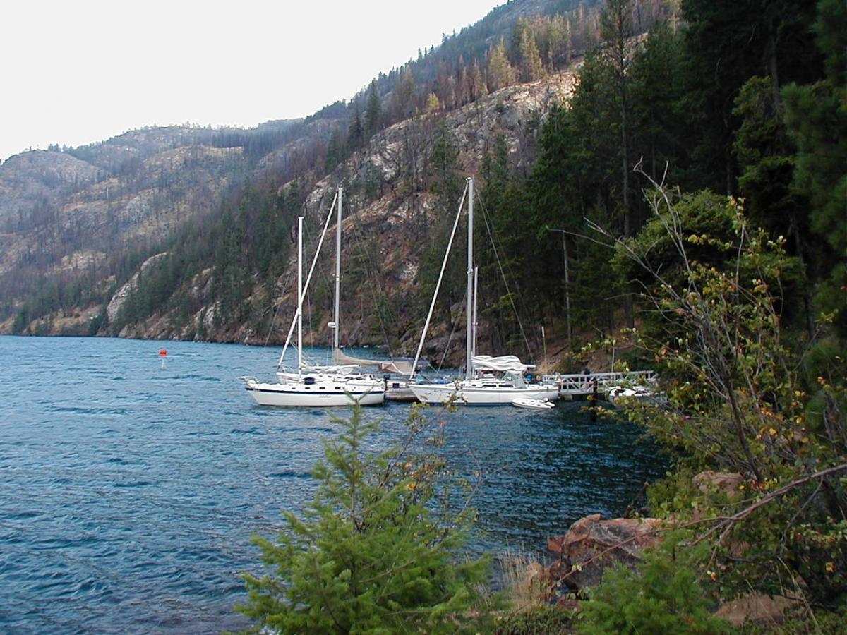
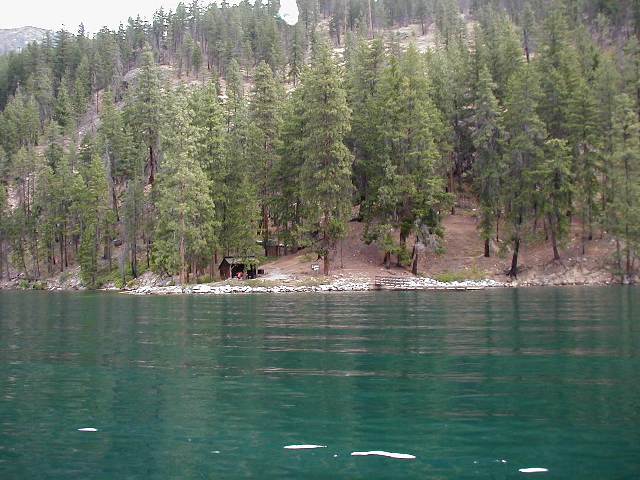
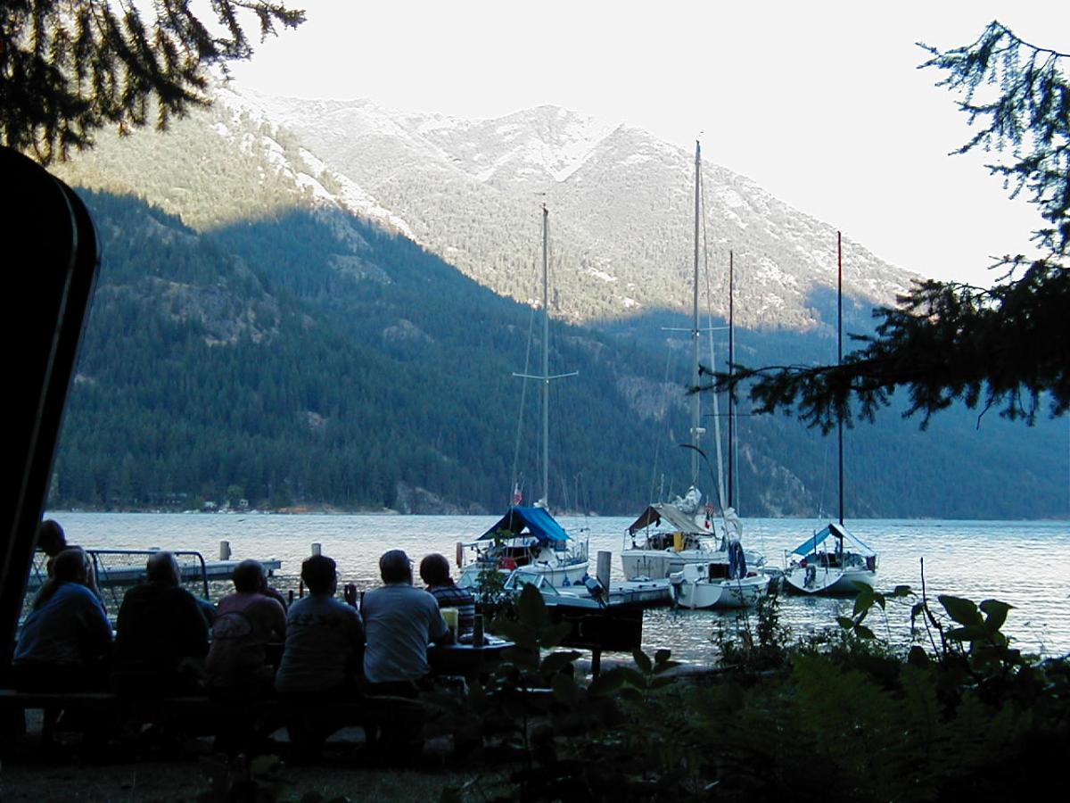
Forest Service boat in campgrounds are wonderful places to spend a weekend or a week. A trip up to Holden Village offers an experience you will not duplicate anywhere in the world and Stehekin at the Head of the lake is an entry to the Glacier Peak Wilderness and a National Park.
Be Prepared!
- Lake Chelan, especially in the upper reaches can experience high winds and rapidly changing conditions.
- Be ready to reef your sails and to duck in to one of the few protected docks.
- Cell phone coverage ends at 25 mile creek so carry a marine VHF. Fuel (gas only, no diesel) can only be obtained at Stehekin once you are past 25 mile creek as well so check your supply before departure.
- Water depths are not a hazard in most locations if you are more than 50′ offshore. Some exceptions include Wapato Point to Mill Bay during spring low water and an unmarked rock in front of the Boat Club just down lake from the Mill Bay launch. Past 25 mile creek the water can be several hundred feet deep just a few yards from shore.
Launch Ramps
Starting at the foot of the lake and heading up (West)
- Chelan River PUD Ramp – Good ramp with a good depth angle and good parking. It is useless for sailboats due to the bridges between the ramp and the lake. End of ramp elevation is 1080.5′
- Don Morse Park – The City Park. A Decent launch ramp but the angle is somewhat shallow for deep keel boats. Parking can be difficult and you will have to pay for launching, vehicle parking and trailer parking. Moorage here is o.k. if the weather isn’t bad, otherwise the breakwater doesn’t break water very well so the water can be active inside the marina. This launch is only useable when the water level is about 1095, end of ramp elevation is 1090′.
- Lakeside Park – Only open for launching from Mid September to Mid May. It’s only good for small boats and only if the wind isn’t blasting down lake into the launch.
- Mill Bay – Three good ramps. Watch the trees. Lots of parking. Be careful of the rocks just down lake of the ramp during low water. O.K. for launching with 1087′ or higher water elevation. End of ramp elevation is 1082.9′. Good pump out.
- Manson Bay – Only open in the fall through spring. This is the best angled launch on the lake. The approach and staging area is somewhat hard to negotiate but the deep water and steeper angle make this a good sailboat launch. Best winter launch ramp. Pump out. End of ramp elevation is 1077.9′.
- First Creek State Park (Lake Chelan State Park) – Good angle launch, lousy set up area and parking, you will have to disconnect the trailer from the tow vehicle for parking and the ramp is very narrow with sharp drop off on either side. Launch needs about 1095′ water elevation to be usable. End of ramp elevation is 1090′.
- Fields Point State Park – Parking and picnic only. This is a popular place to catch the Lady of the Lake to Lucerne and Stehekin. Boat facilities are limited to a pump out, the dock is for the Lady only. No launch ramp or public dock and the pump out usually doesn’t work.
- 25 mile creek State Park – This ramp is only good during high water (late June to mid Sept) It offers great access to up lake destinations but the marina is only good for 24′ or less boats and fairly shallow drafts. Fuel is available here too. End of ramp elevation is 1093′.
